The Ughtasar Petroglyphs
- By Thong Do
- •
- 10 Aug, 2017
- •
One of the most remarkable sites to see that remind us that humans have come a long way is the Ughtasar Petroglyphs. Located on Ughtasar Mountain just about 35 kilometers from the town of Sisian in the Syunik Province of Armenia, these reminders of our past lay here undisturbed since the Paleolithic Era. Ughtasar is derived from the Armenian words “ught” meaning camel and “sar” meaning mountain. The mountain’s peak is a resemblance to the hump from a camel.
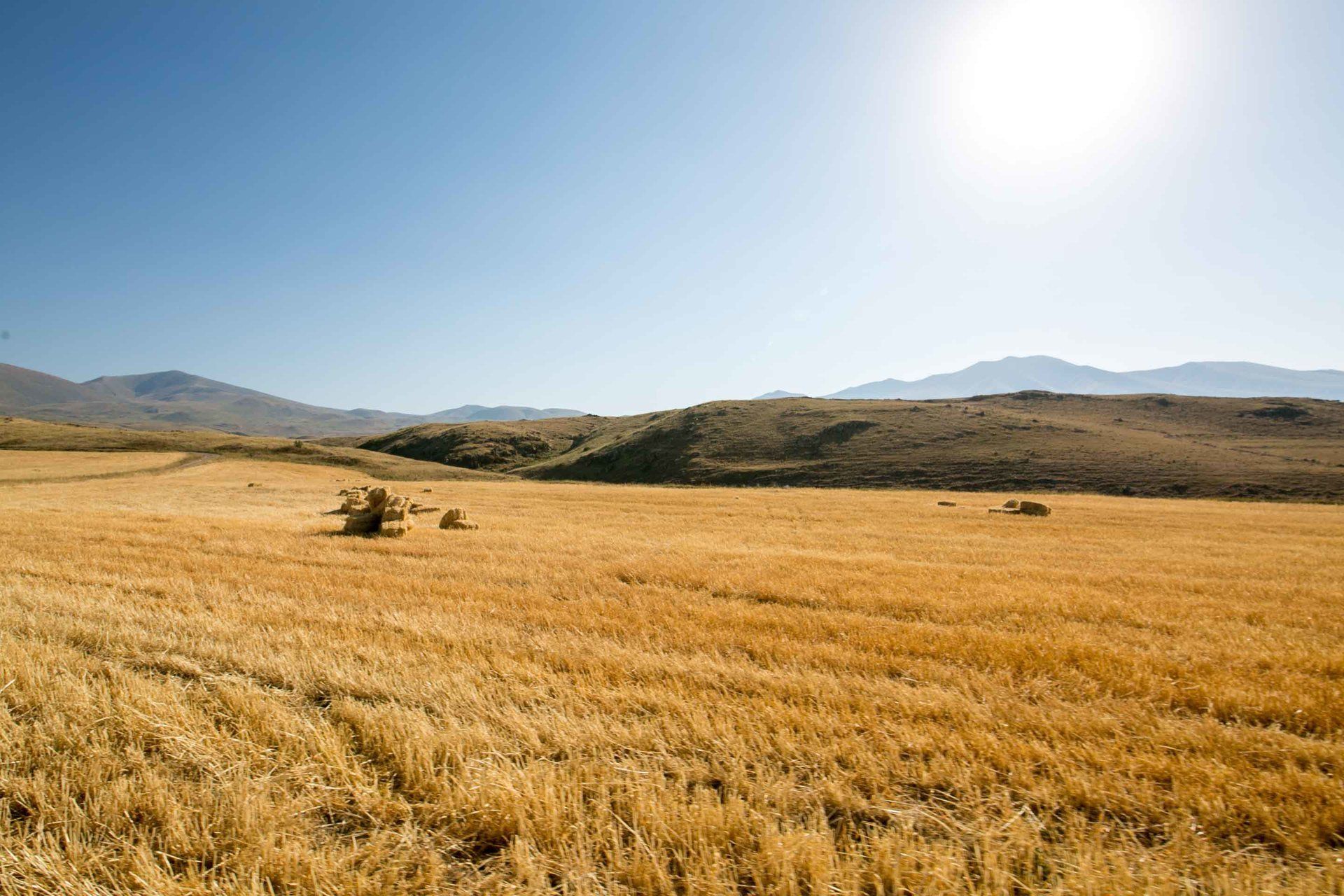
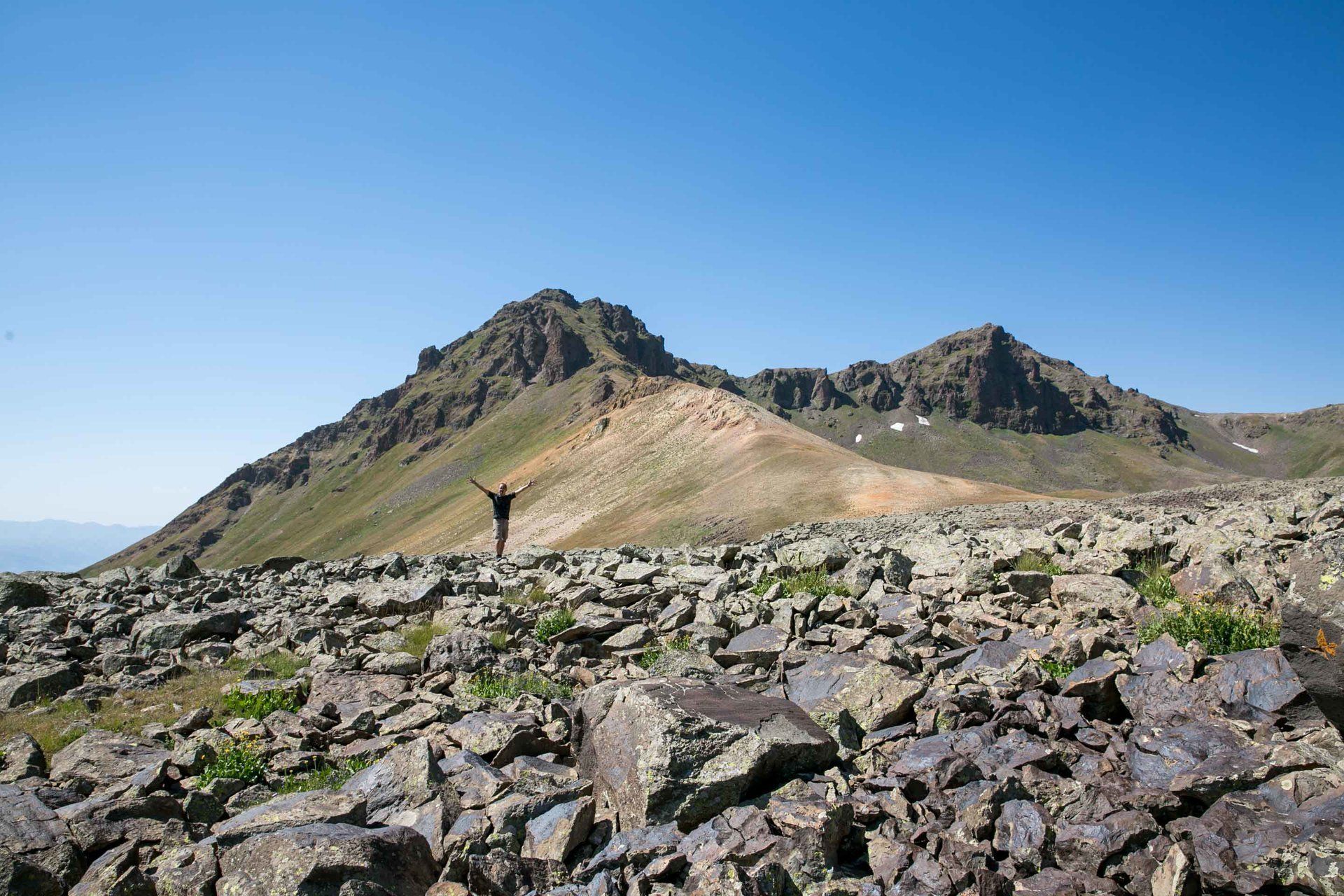
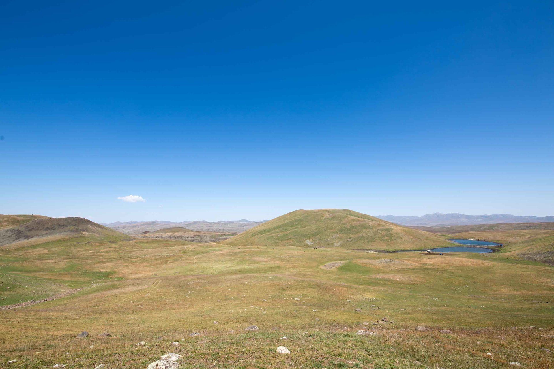
I had the great opportunity to visit this area in the peak of summer since it’s only accessible for a limited amount of time throughout the year. The elevation, terrain, and snow make it quite difficult to visit. I was able to hire a guide through Goris Tours and get a driver who had 4x4 capability. To get to the petroglyphs you must take main highway and turn into Ishkhansar village and the only dirt road there will take you. The road is steep at times but the road is scenic and relaxing when you’re not bouncing around and I even got to see some eagles from a reasonable distance. The way to the petroglyphs is challenging but it’s also great for backpackers looking for serenity away from the hustle and bustle of city life. If I had the time I’d love to spend 4 or 5 days camping here.
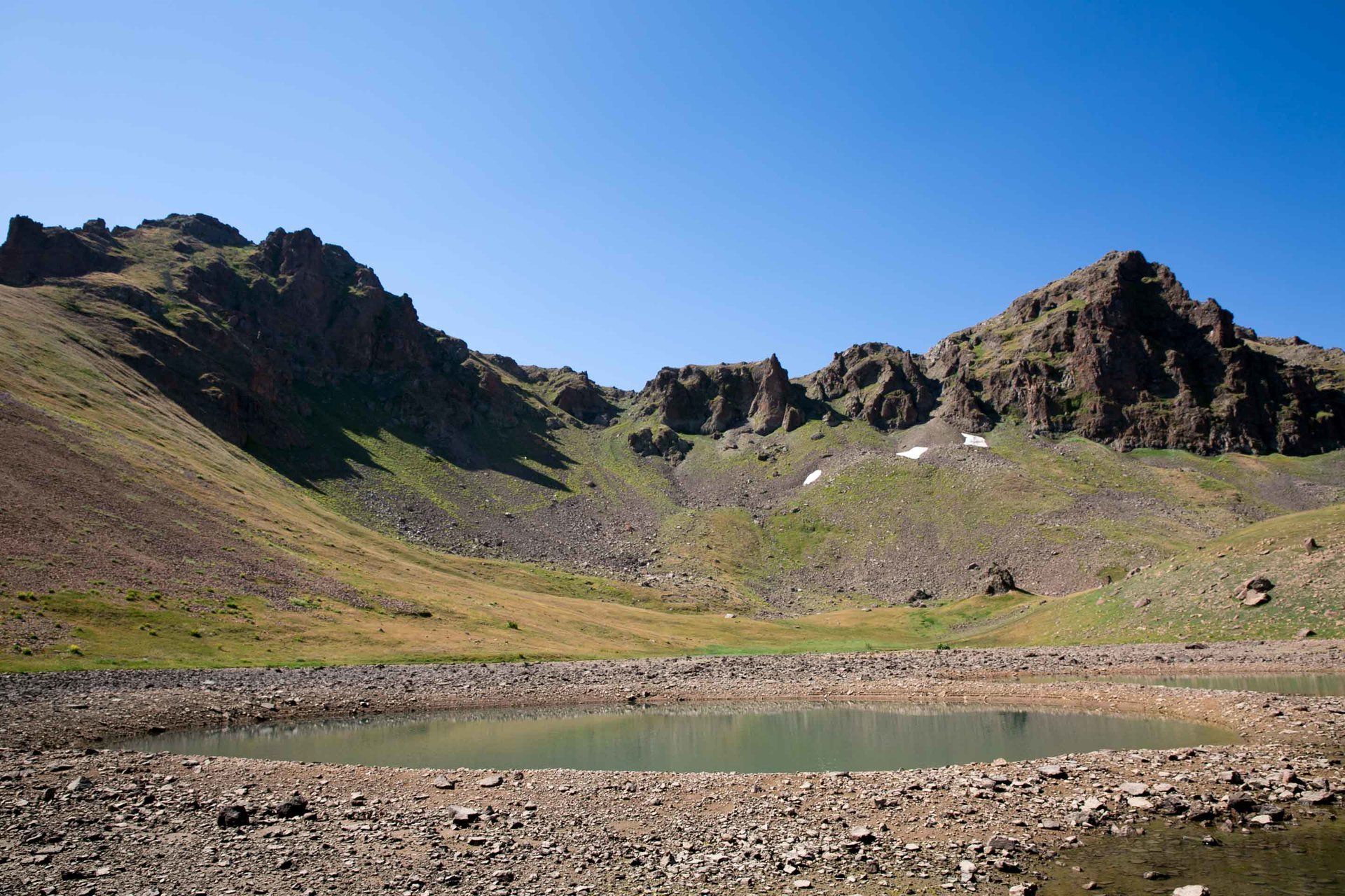
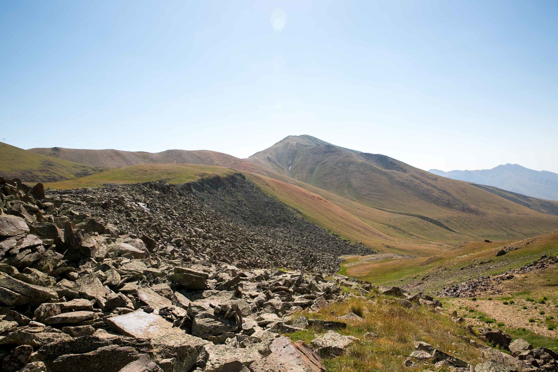
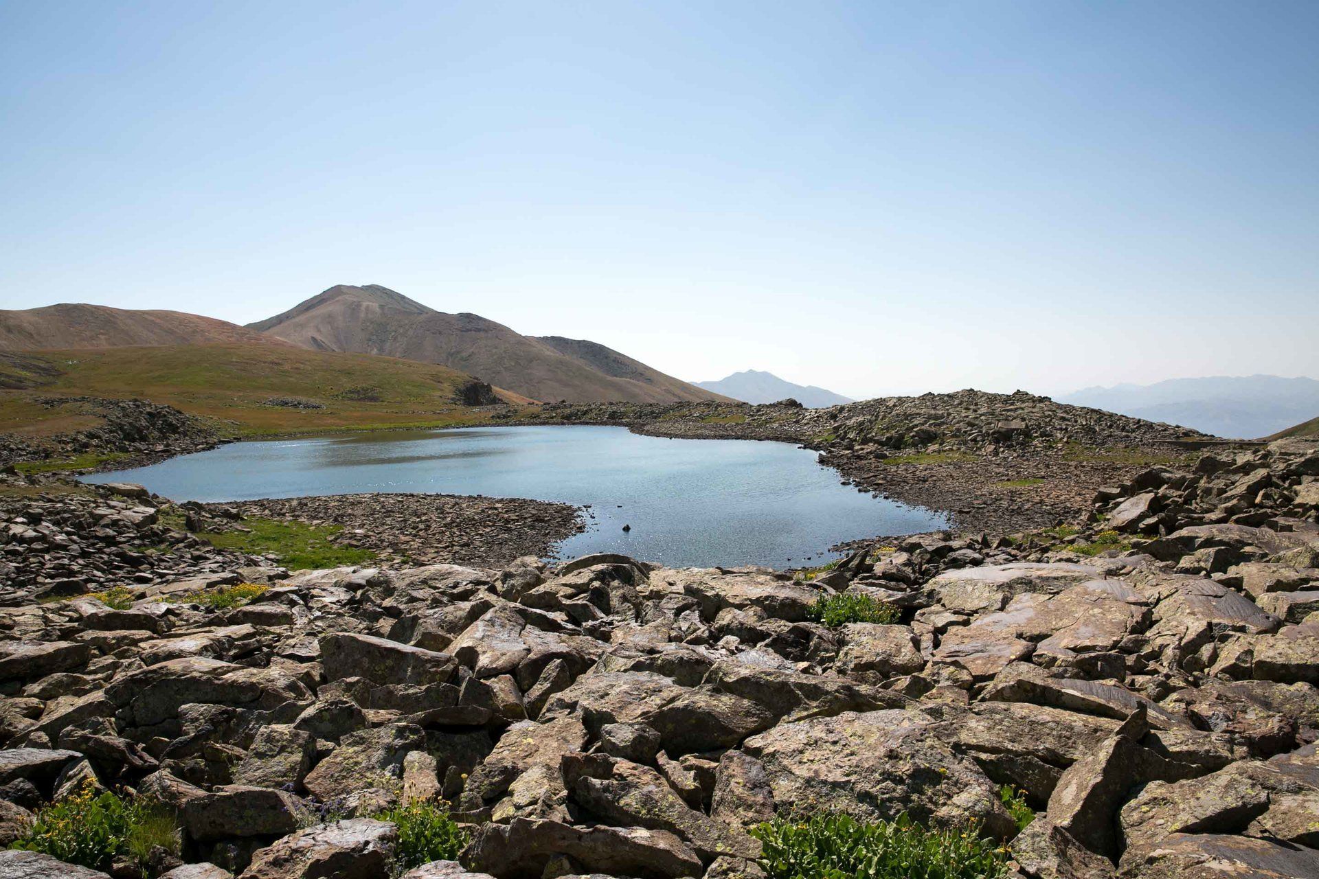
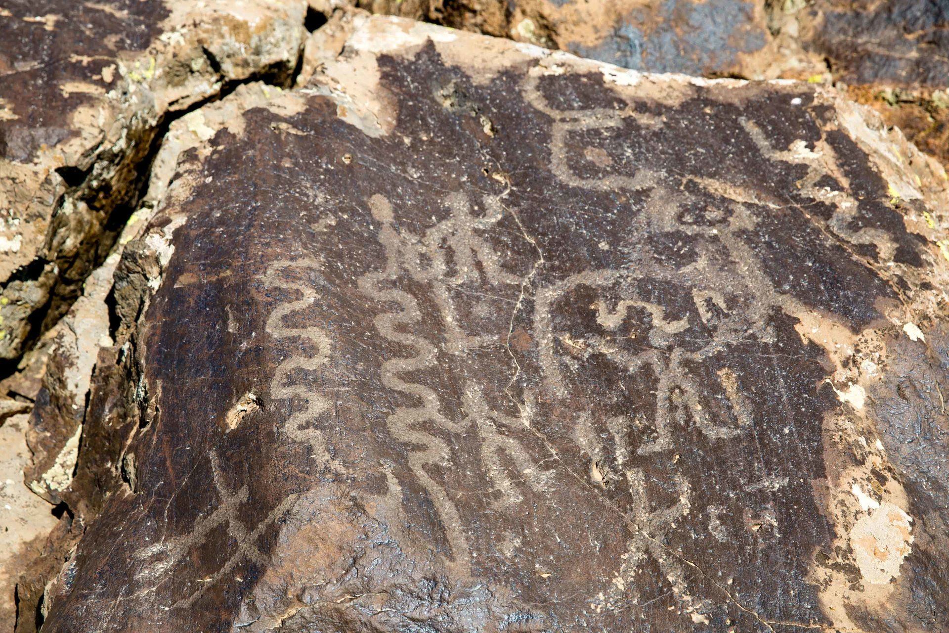
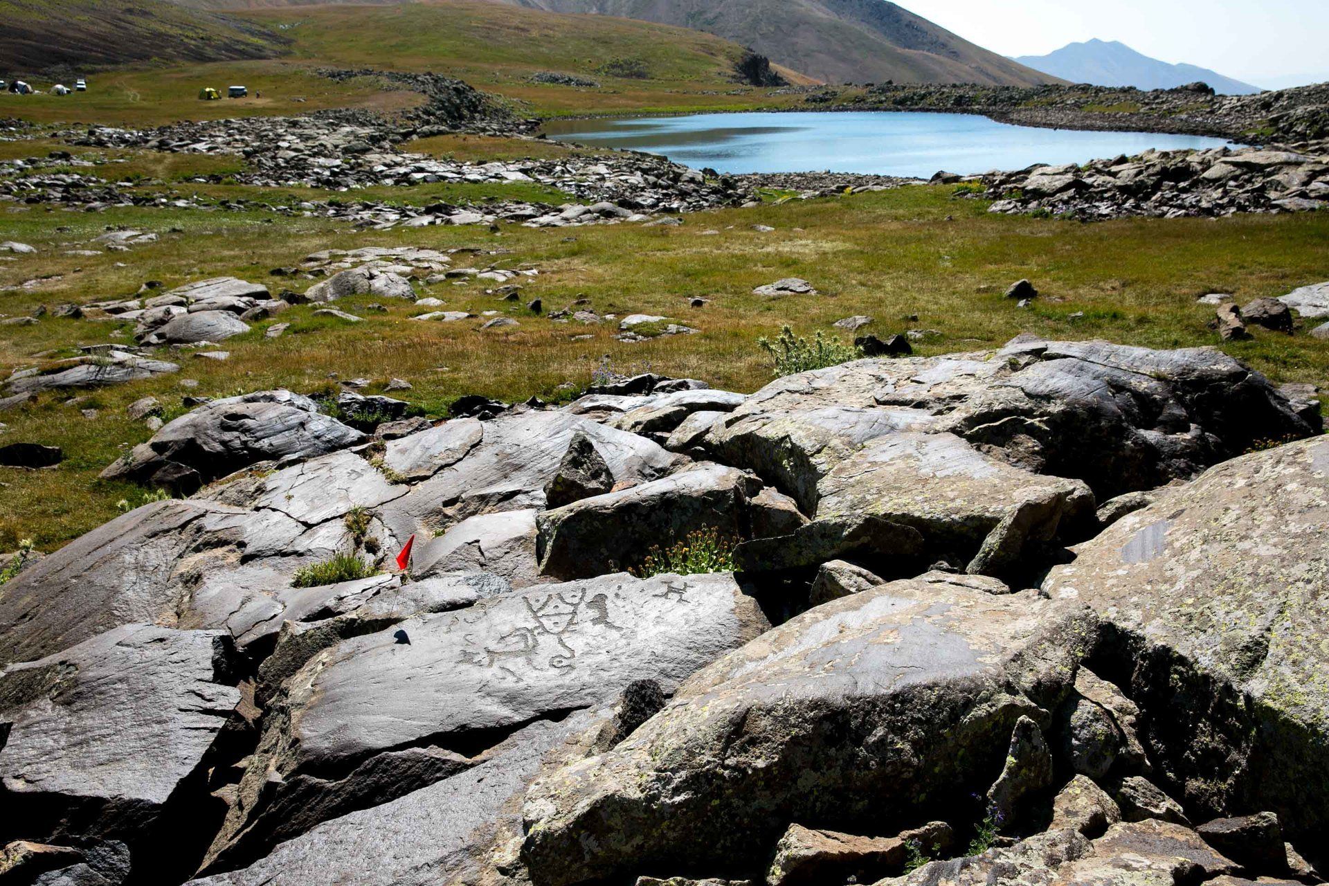
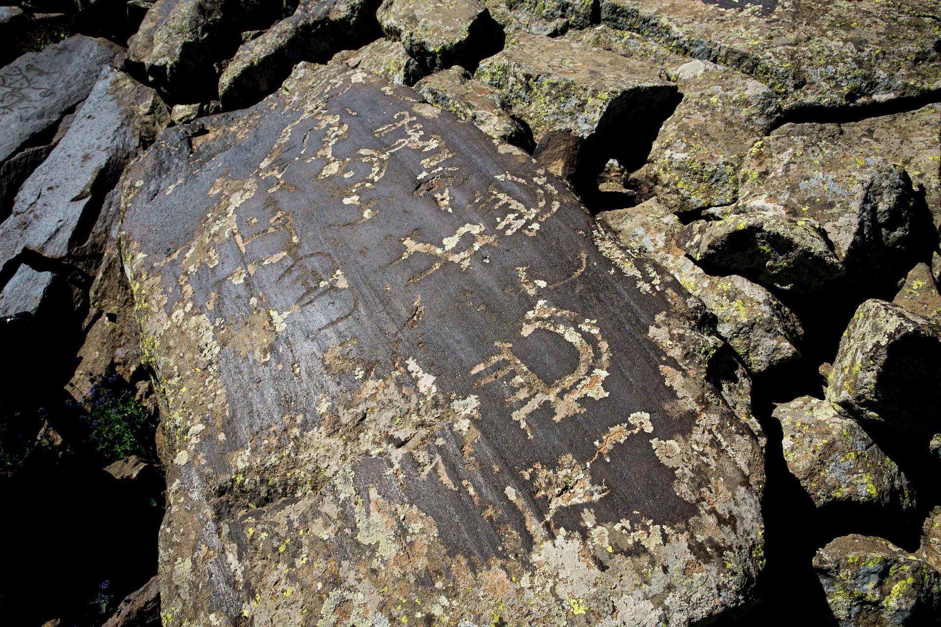
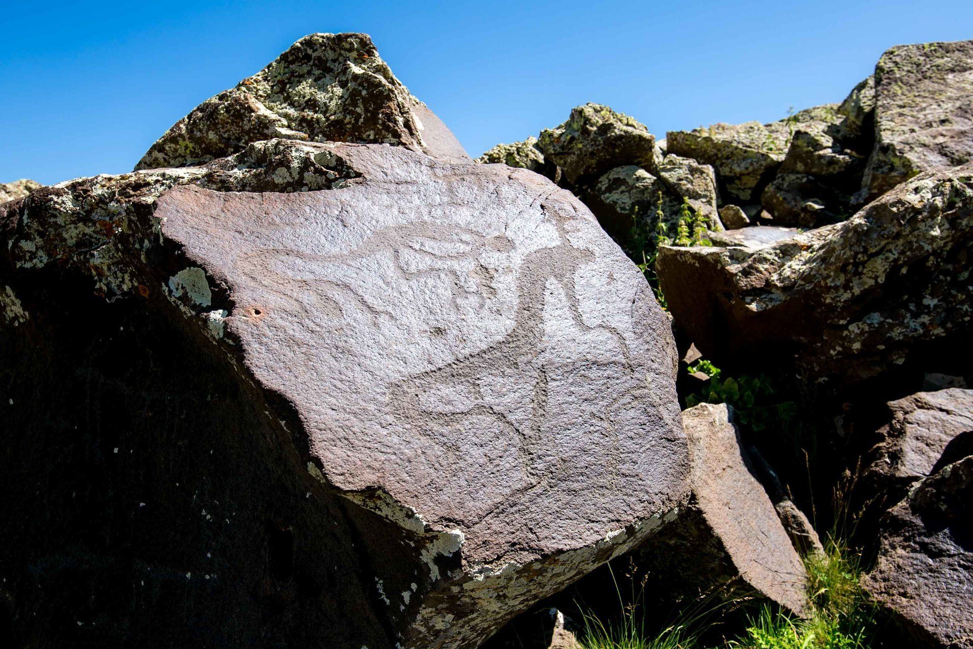
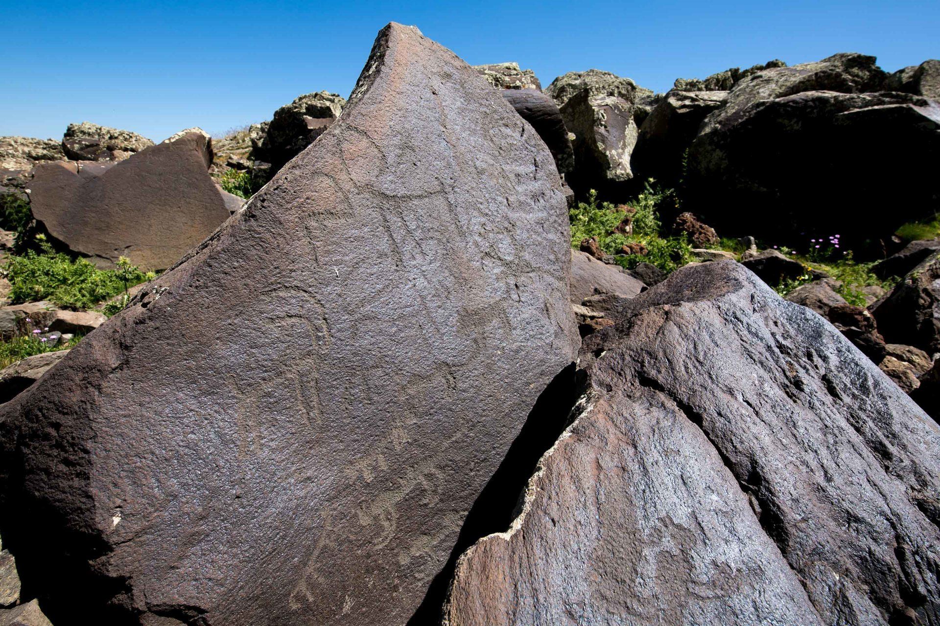
A small group of my fellow Peace Corps Volunteers decided to make the trip and to our surprise an international group of geologists were also camped at the main petroglyph site to conduct research. The petroglyphs are found everywhere there is a concentration of rocks but the largest can be found next to Ughtasar Lake. There are over 2,000 decorated rock fragments that extend to the foot of the mountain. The petroglyphs date back to the Paleolithic Era (12,000 B.C.E.). Most of the rocks are very dark brown in color and are remnants of an ancient and extinct volcano. I don’t recommend swimming in the nearby lake because it’s ice cold.
The petroglyphs were discovered in the early 20th century and research began on them until the late 1960s. There are no signs or any type of administrative evidence here that tell you where they are located so you can either hire a guide and have them point it out to you or just go looking on your own! You’re free to go anywhere so just be aware of the wildlife. The petroglyphs vary in design and sizes. Most of the ones I saw were of geometric shapes as well as depictions of various animals. We joked among ourselves that petroglyphs were the original Facebook before Mark Zuckerberg!
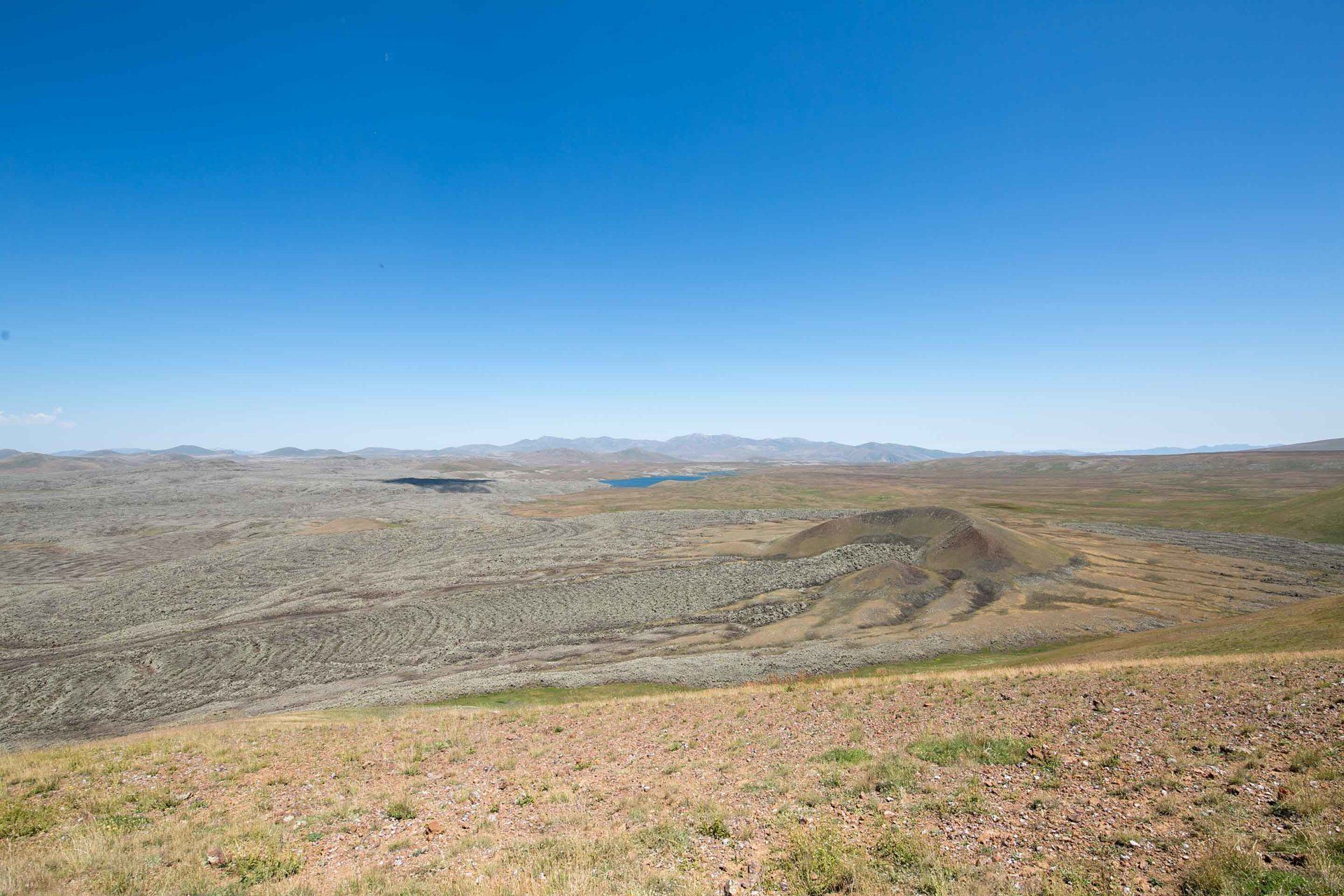
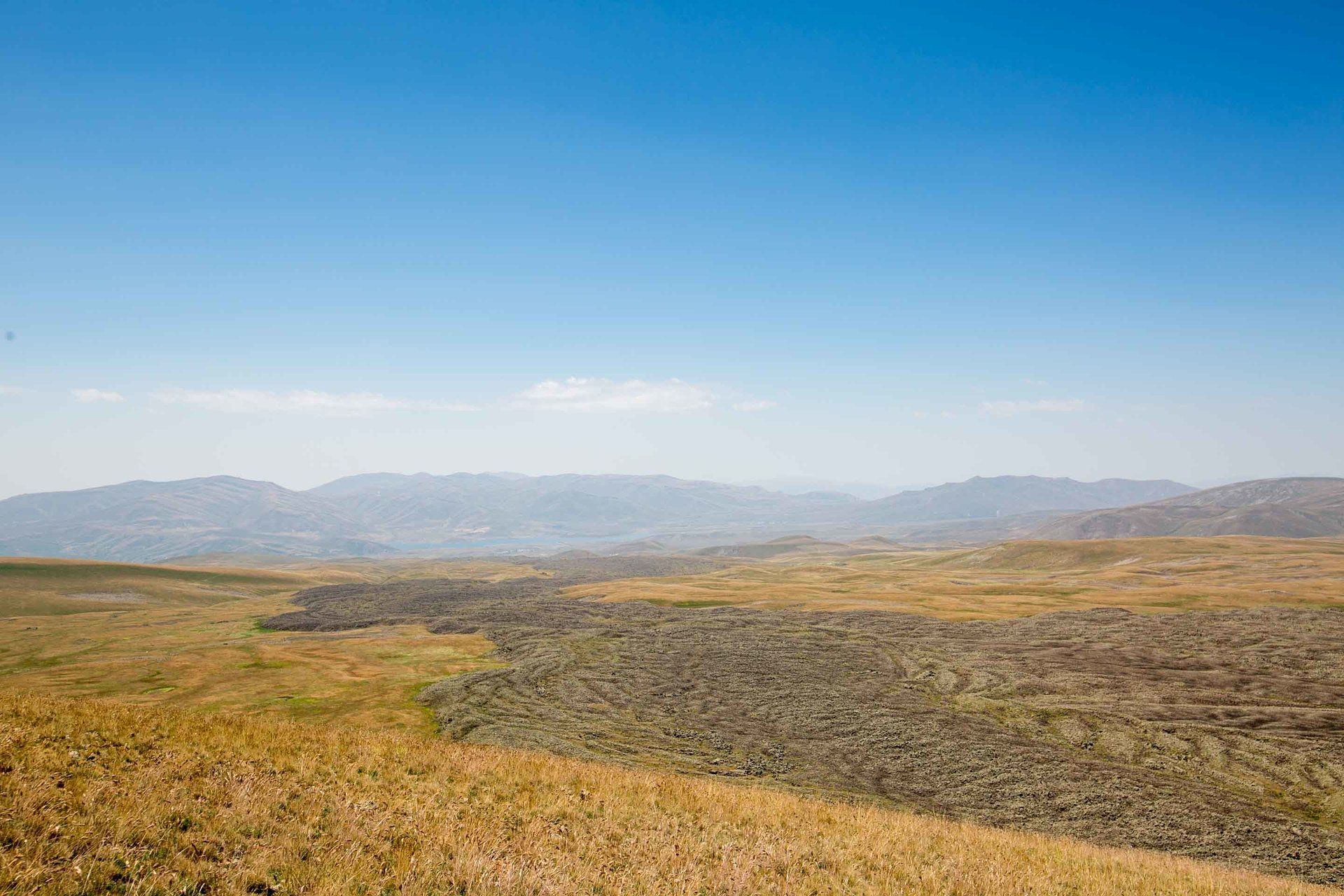
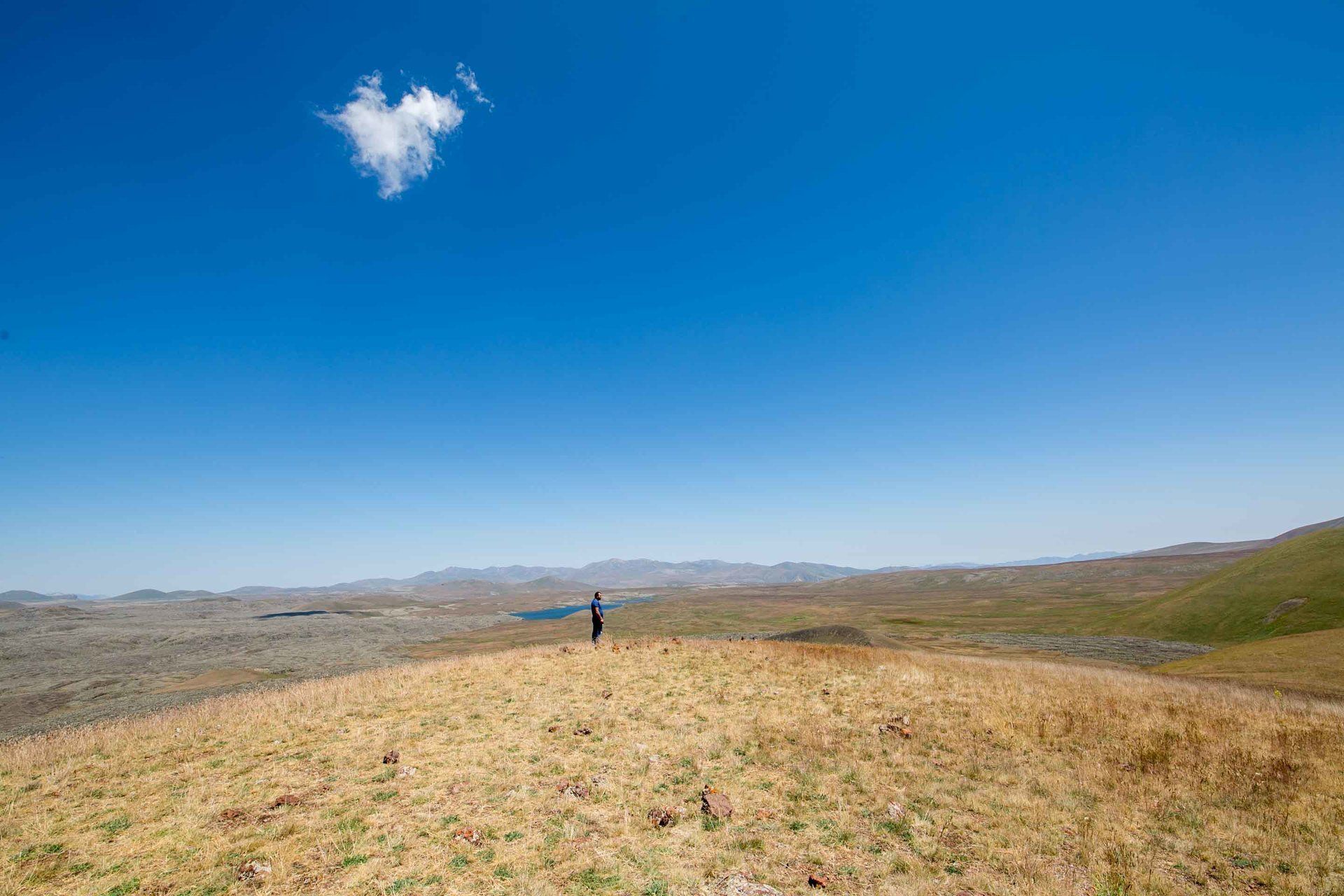
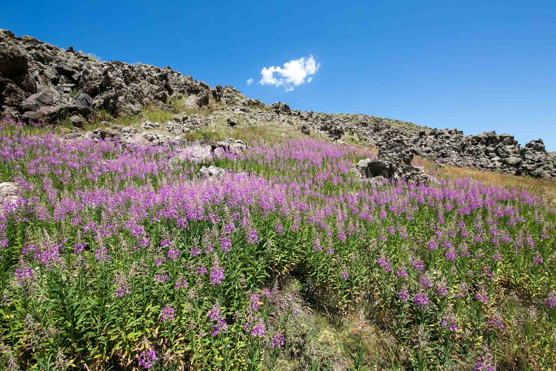
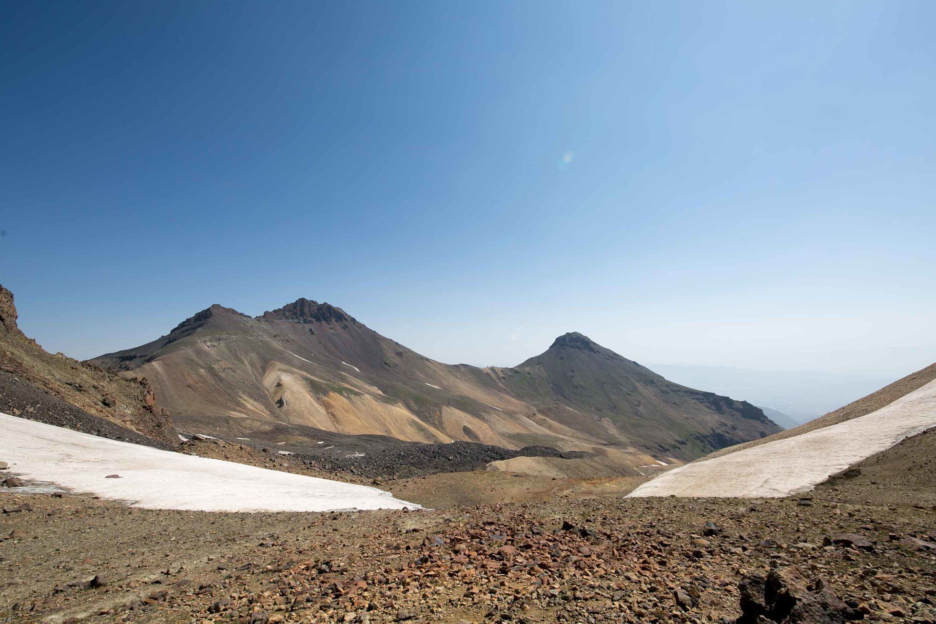
The surrounding area is stunningly beautiful and I was fortunate to see bear tracks at one of the small pools of water. The only human contact you may see is the random sheepherder with his flock and the few other tourists. From Lake Ughtasar we took a road into the interior and headed north and came to a peak with an amazing view of a dried river of lava. Off in the distance you could see where the lava flowed out of too. It’s quite a spectacle to see. If we would have had the time we would of hiked down to walk on it too. I would of taken drone footage too but it was just too windy. To get here and see everything you should plan the entire day for this, just start very early though.
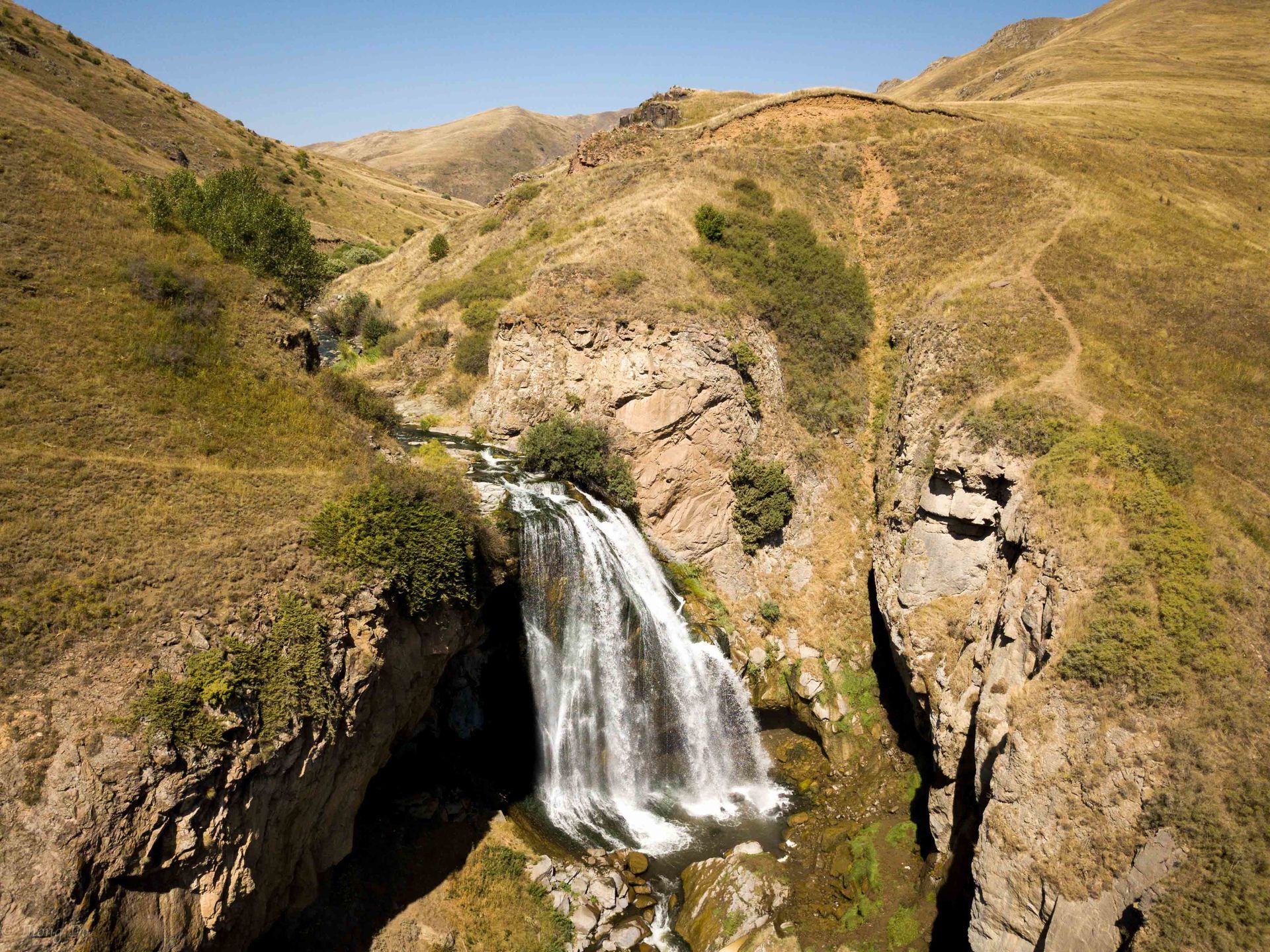
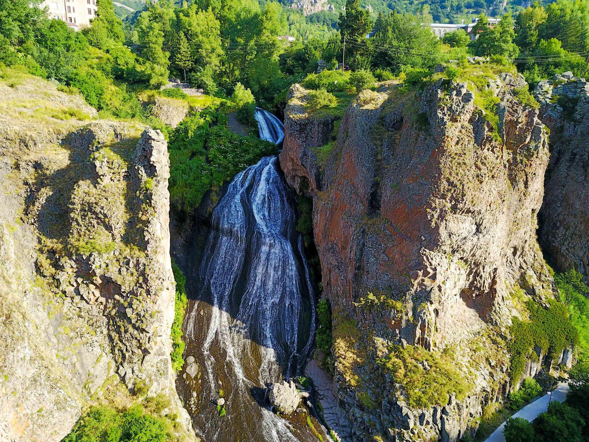
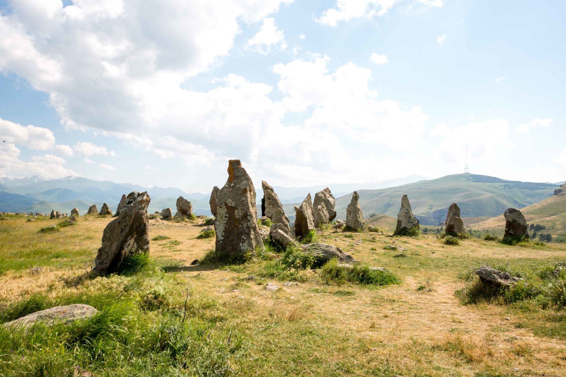
I completely recommend visiting this area if you are spending time in southern Armenia. It’s close to Karahunj and Shaki Waterfall and well worth the time and effort to see it. It’s such a great area to relax and get away from the noisy city life. Make sure you have a vehicle with 4x4 capability here because this is not an area you want to risk getting stuck. If you’re a photographer, then you’ll definitely get some great landscapes and wildlife photos here. Enjoy the nature and history here.
Happy traveling.