Smbataberd Fortress
- By Thong Do
- •
- 21 Jun, 2017
- •
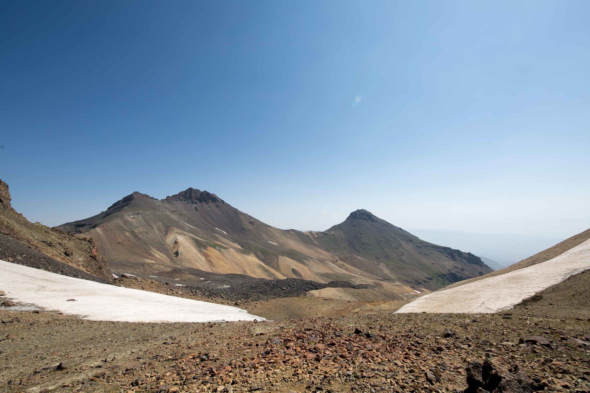
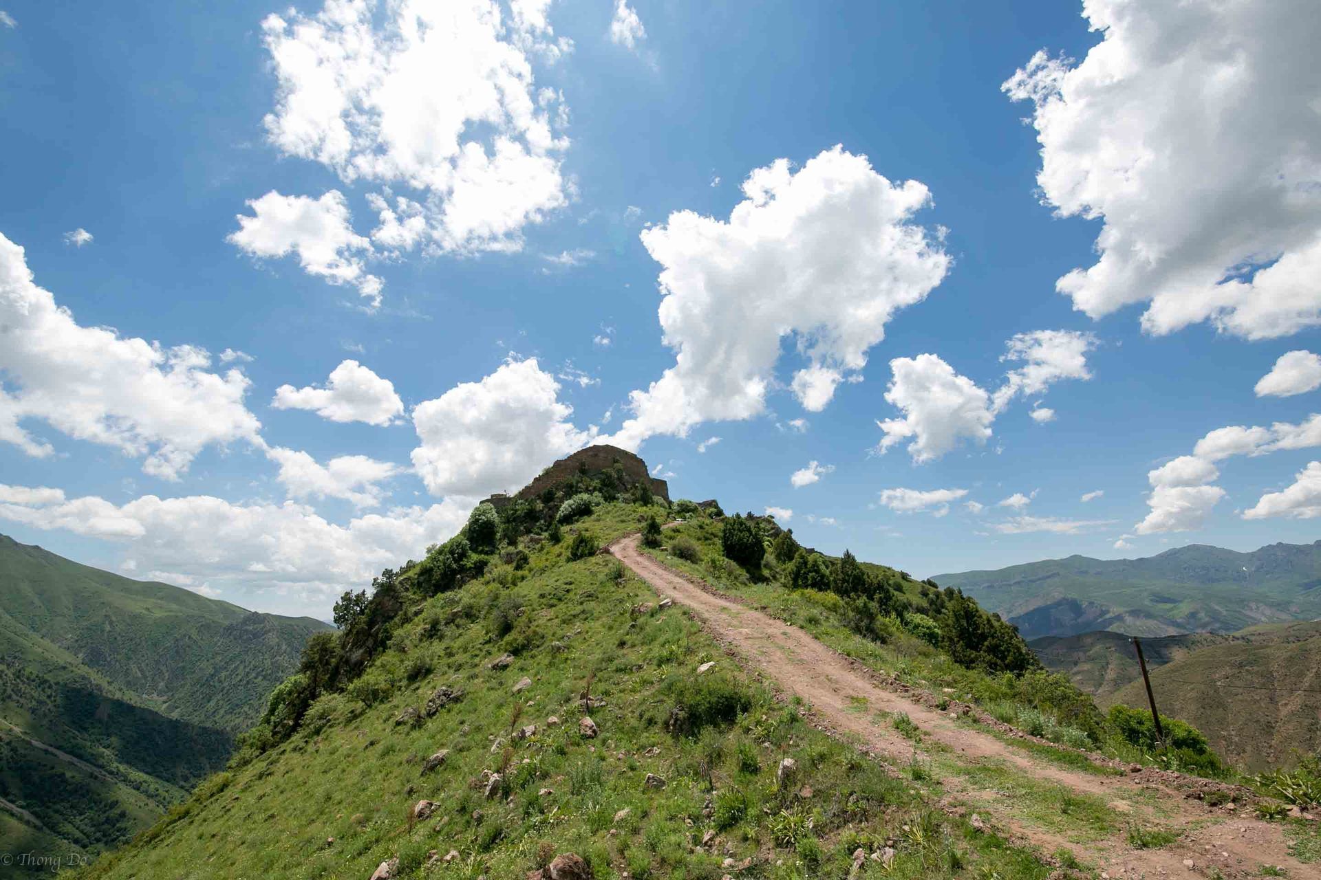
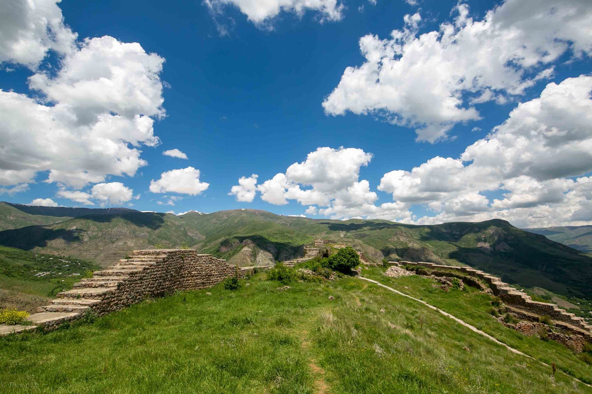
Located in the central region of Armenia in the Vayots Dzor province lays an ancient fortress waiting to be visited. Smbataberd fortress is southeast of Artbuynk village and constructed on a narrow mountaintop overseeing the Yeghgis and Artabuynk canyons to the east, south, and west. Accessible only by a narrow dirt road from the north this site offers amazing views and is in relatively good shape for a for a building that traces it’s roots back to the 5th century.
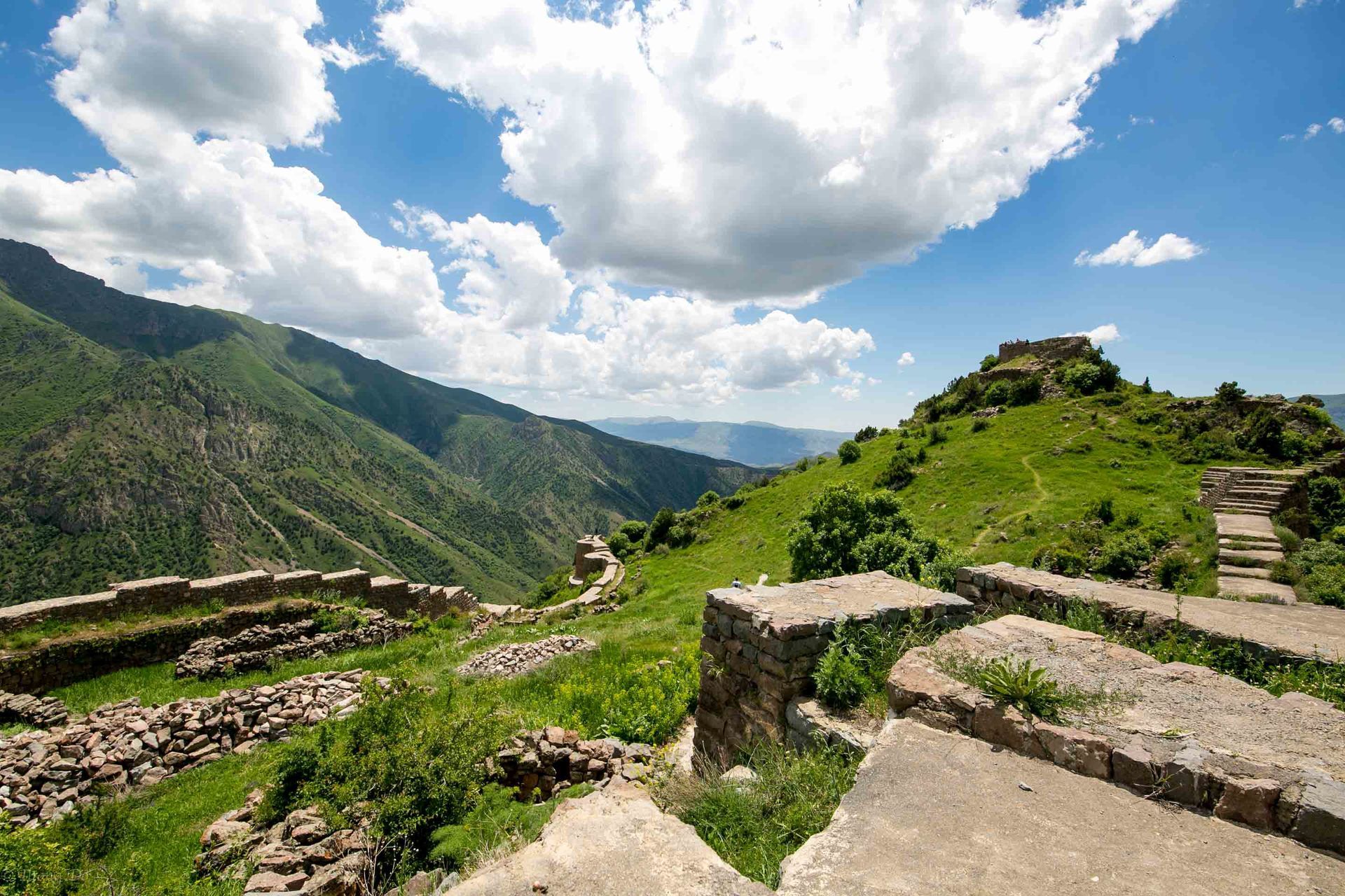
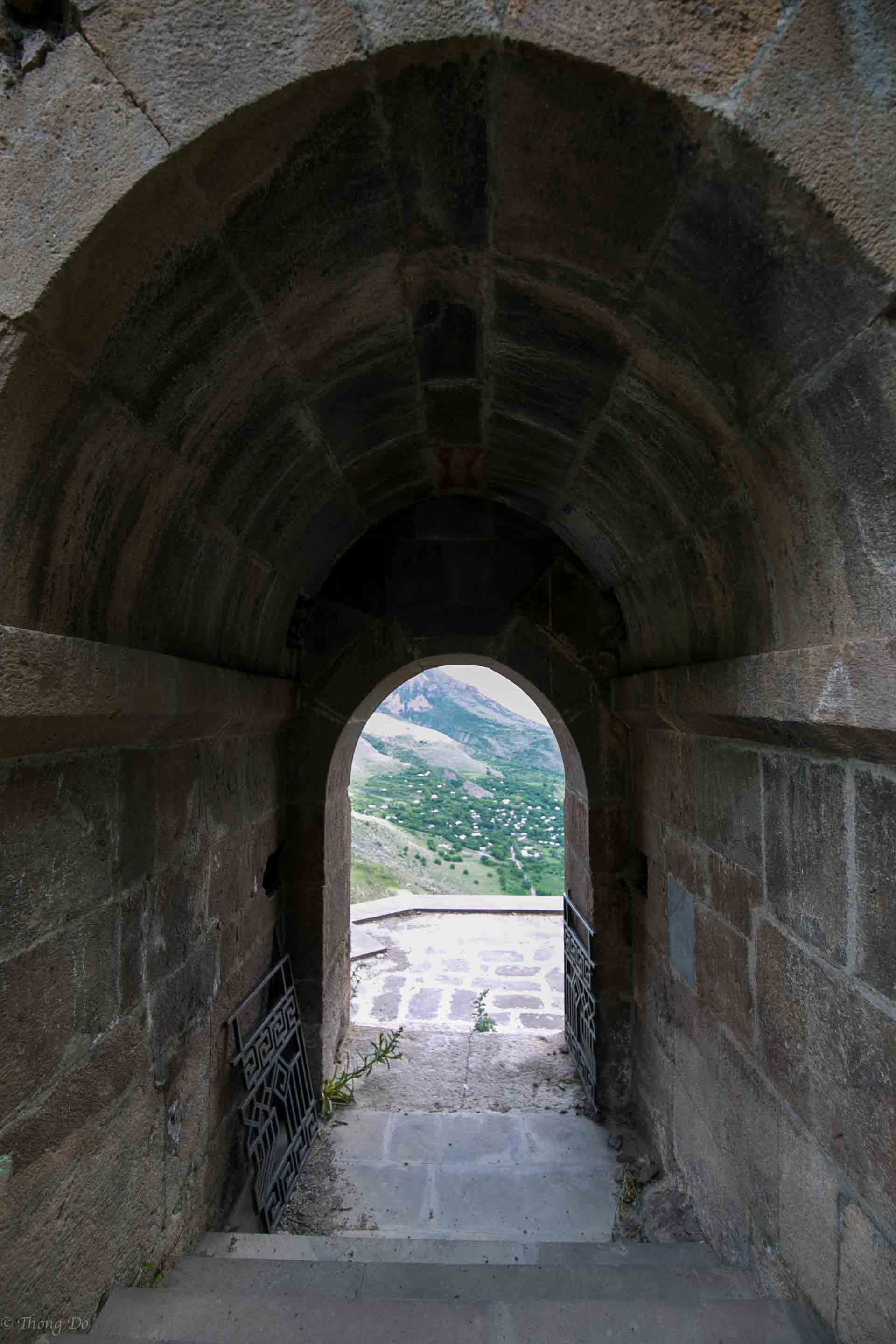
In true medieval and architectural fashion, the fortress walls that guard the castle ruins are nearly 3 meters thick and up to 10 meters high with numerous round towers strategically placed. This complex covers an area of nearly 6.5 hectares and divided by walls on the northern and southern sides, where the ruins of the citadels, military barracks, dwellings and water-pools have been preserved.
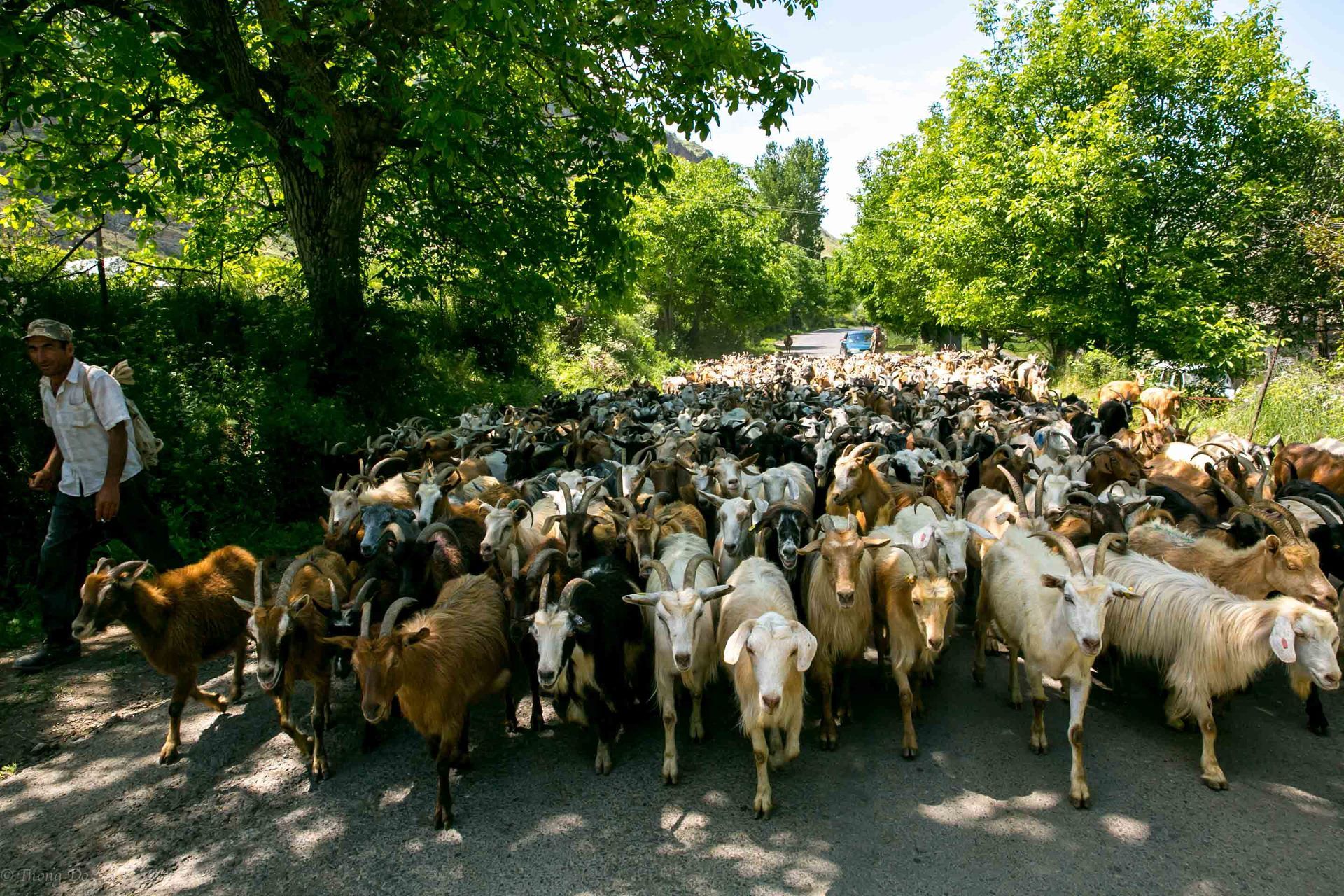

I visited this place in early June and we took a taxi from a neighboring city where my friend was living. Since the roads are dirt and the terrain is steep our driver was only able to take us to the base of the mountain and we had to hike it from there. If you had a 4x4 vehicle then it should be no problem getting to the top. Along the walk to the top you’ll pass by a river and a watering station that the local cows use when they are grazing up there. We came across a big herd of cows but they didn’t seem to mind us, just be careful where you step since there’s cow shit everywhere. It took us about an hour to hike to the top.
Smbataberd is mentioned in connection with the 5th century Vardanank War. It belonged to the princes of Syunik in the 9th-11th centuries and was donated to Orbelian princes in the 13th century for the support during the liberation of Vayots Dzor from Seljuq Turks. The building was extensively fortified in the 13th century, however it fell to ruin and abandoned in the 17th century following the Shah Abbas exile of Armenians and the Persian-Ottoman wars. The fortress got its name presumably because King Simbat who is buried in the nearby village of Yeghegis was the one who is credited for building it.

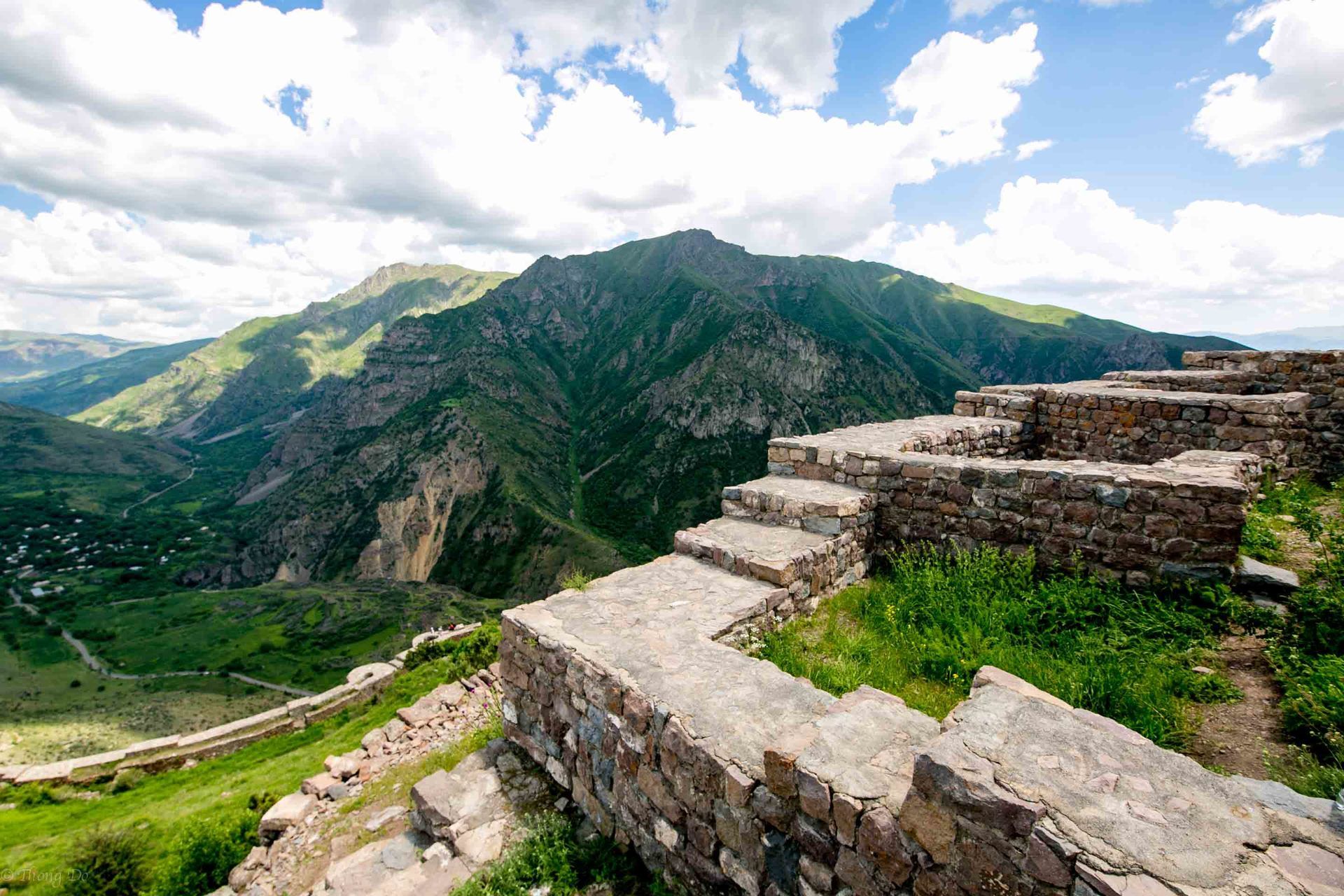
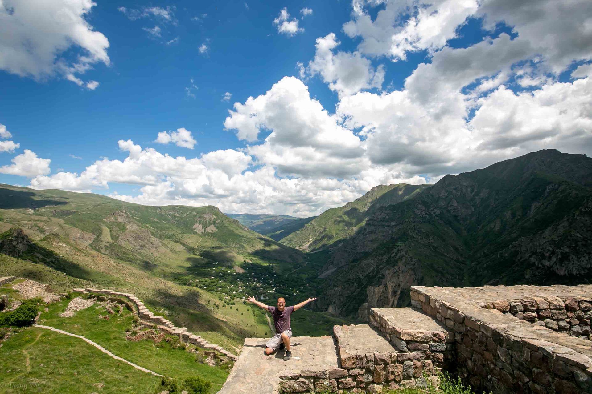

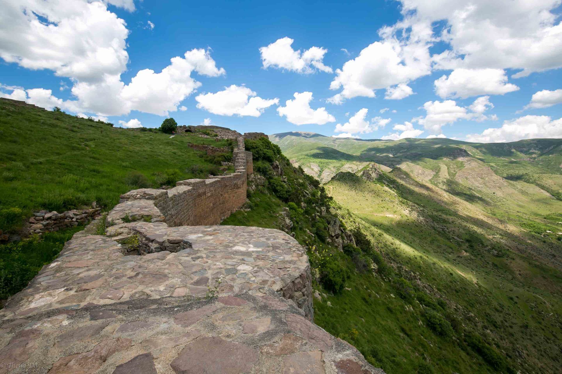
The best place to visit is at the southern end of Smbataberd where the castle ruins lay. It’s at the peak of the mountain and you get a great bird’s eye view of the entire complex as well as the surrounding canyons. The other section worth checking out is the eastern side. A small path will lead you down to an opening where you can get an unobstructed view of the lower canyon as well as see the details and size of the fortress walls.
Smbataberd is a great little hideaway site to visit in central Armenia. It’s near Gndevank Monastery and not to far from Norvank Monastery too. Add it to your itinerary if you have the time.
Happy traveling!